



Princetown easy access route
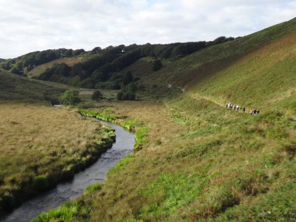
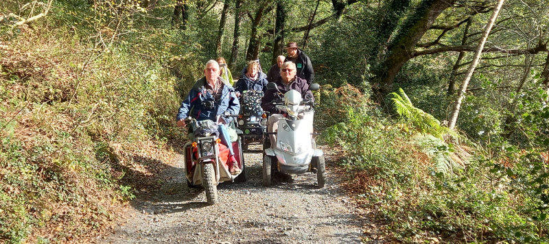
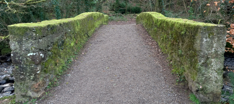
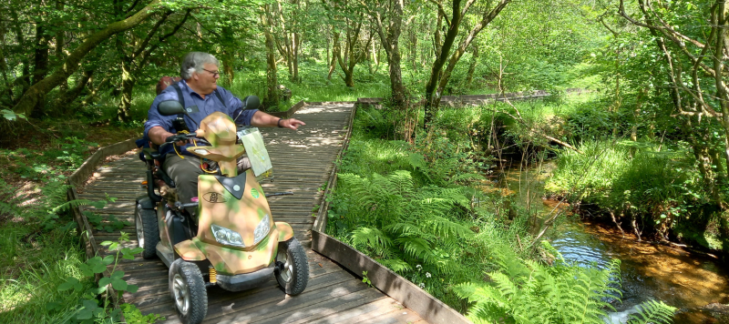
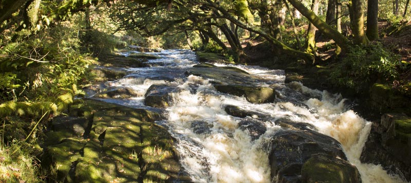
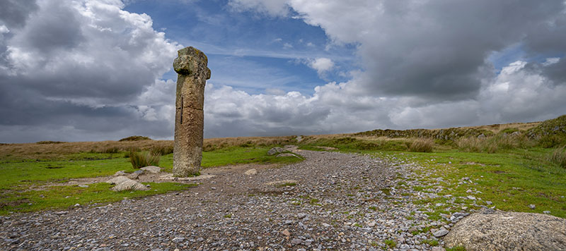
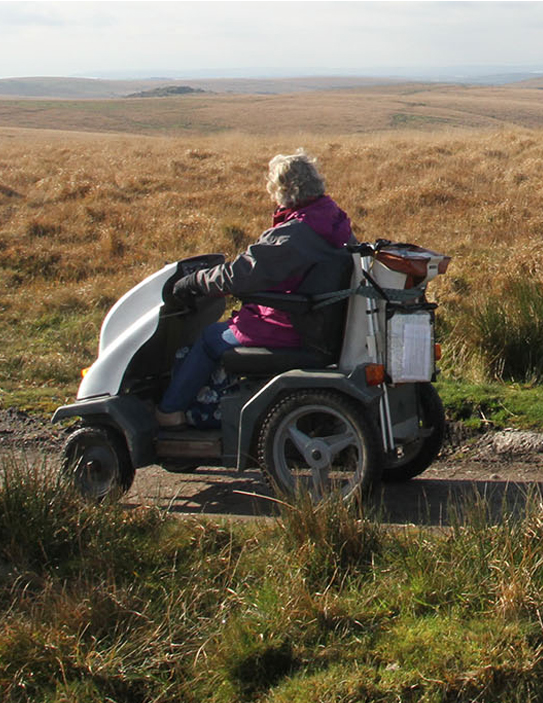
Linear route following a gravel surfaced bridleway, some gentle inclines and number of granite cross drains and a small granite bridge.
Sat, 7 November
Today
9°C Drizzle
Sun
9°C Overcast
Mon
10°C Drizzle
For any walk, no matter how short, we recommend you take an OS explorer map of Dartmoor with you.
OS explorer map of DartmoorDiscover varied walking routes across Dartmoor with downloadable maps, detailed directions, and opportunities to explore local villages and enjoy refreshment stops.
Linear route following a gravel surfaced bridleway, some gentle inclines and number of granite cross drains and a small granite bridge.
Green lanes with some steep hills, and rough underfoot. Route can be wet in places after rain so appropriate footwear is advisable.
One strenuous climb from Week Ford to Combestone Tor. Easy going along roads and defined tracks. Route crosses stepping stones.
Largely on roads, with the occasional easy going to moderate off road sections. The walk does include a long stairway.
Looking for a challenge? Dartmoor offers iconic long-distance walks with some spectacularly scenic routes across and around the National Park.
The Two Moors Way is a 102-mile long-distance walking route between Dartmoor and Exmoor National Parks that can be completed as day walks or extended sections.
A 108-mile circular route exploring Dartmoor's valleys, streams, and moorland landscape.
An 18-mile route following historic granite tramway and canal routes from Dartmoor to Teignmouth.
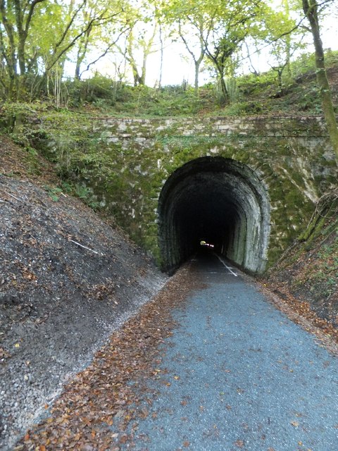
The West Devon Way is a historical route featuring attractions like Grenofen Tunnel and scenic trails along the western edge of Dartmoor.
Explore graded, stile-free routes designed for all abilities, from families with young children to those using mobility aids.
Dartmoor's Wheeled Access GroupDartmoor is for everyone to enjoy, but we all have a responsibility to protect it. Here's how to plan a safe, respectful, and accessible visit.